Published on: October 26, 2025| Reading Time : 5 Minutes
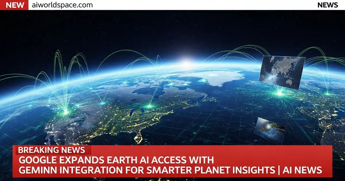
Google has updated Google Earth AI with Gemini integration and wider access for researchers and enterprises. The upgrade brings smarter satellite-based insights for tracking climate change, urban growth, and deforestation. Announced via Google’s blog and VP Yossi Matias’s LinkedIn post, the rollout will expand globally in the coming months.
Google has announced new updates to its Google Earth AI platform, adding more access for organisations and integrating its Gemini AI model to deliver deeper environmental and infrastructure insights. The company shared the news in an official blog post published on blog.google on October 21, 2025.
Gemini Joins Google Earth AI
The new version of Google Earth AI combines satellite data with Gemini’s multimodal reasoning, helping users understand large-scale changes such as urban growth, deforestation, and climate patterns.
In a LinkedIn post, Yossi Matias, Google’s Vice President of Engineering & Research, wrote:
“Google Earth AI brings decades of satellite data and cutting-edge AI together — enabling anyone to explore how our planet is changing with intelligence and context.”
This integration allows users to ask complex, natural-language questions like “Which areas have seen the highest vegetation loss this year?” and instantly visualise those patterns on the Earth interface.
More Users Get Access Google Earth AI
Google said the updated tools will first be available to Trusted Testers, select enterprise users, and Google Cloud customers who already use geospatial APIs. Over the coming months, the company plans to expand access to Google Earth Professional and Professional-Advanced users.
These updates will also appear gradually for subscribers of Google AI Pro and Ultra plans, who will gain higher usage limits for satellite data and model queries.
How It Benefits Research and Local Projects
For countries like India, where rapid urbanization and environmental stress are ongoing challenges, these upgrades could play an important role in planning and sustainability.
With Google Earth AI, universities, city planners, and climate researchers can combine local data with global satellite insights to make data-driven decisions on land use, flood zones, and pollution patterns — all with minimal technical barriers.
why google focus on AI-driven environmental intelligence
Google’s latest move reflects its broader focus on AI-driven environmental intelligence. By opening up Earth AI tools to more people, the company aims to help governments, researchers, and innovators gain a clearer picture of the planet’s changing systems and respond faster to real-world challenges.

India-AI Impact Summit 2026: Government Invites Applications for Three Global AI Challenges