New Delhi, June 24, 2025:
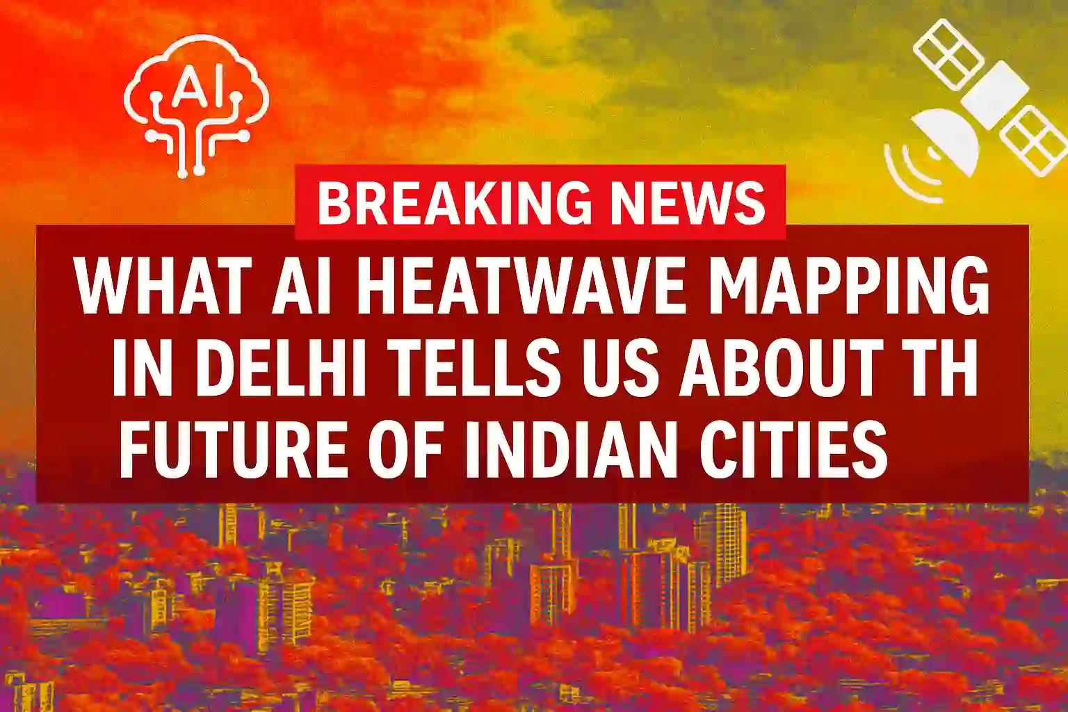
As North India battles soaring summer temperatures, researchers and NGOs in Delhi are turning to a powerful new solution—AI-driven satellite mapping of urban heat.
Combining machine learning models with high-resolution satellite imagery, experts can now identify heat-vulnerable buildings, streets, and neighbourhoods at a micro level. This means interventions—like cooling shelters, green roofing, or tree planting—can be hyper-targeted where people need them most.
“We’re using AI not just to see where it’s hot—but to understand why it’s hot,” said Dr. Meera Joshi, a climate tech researcher working on the project.
How It Works
- AI algorithms analyze building materials, land use, vegetation, and solar exposure.
- Satellite heat signatures are cross-referenced with on-ground temperature data.
- Heat-mapping models update in real-time to guide city planning and disaster response.
India’s Urban Heat Problem
Delhi is one of the hottest megacities in the world. According to IMD data, this year’s heat index crossed 48°C, severely affecting low-income areas. AI-led mapping may soon be adopted by other Indian cities facing similar risks like Jaipur, Ahmedabad, and Lucknow.
“This is climate adaptation powered by code,” said one NGO representative.
Also Read-
SoftBank Plans Direct Entry into India’s IT-BPO Sector with AI at the Core
Vice-Chancellors Push for AI Integration in Indian Higher Education


